Cartographer: A Mesquite package for plotting geographic data
Version 1.80
Lead developers |
|
The Cartographer package allows one to plot the geographic location of taxa onto a calibrated map. It can either plot taxa separately in a taxa window, like this:
or this
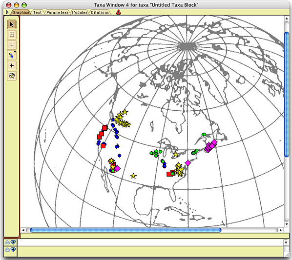
Base map from Snyder, 1987
or on a tree in a tree window, as shown here:
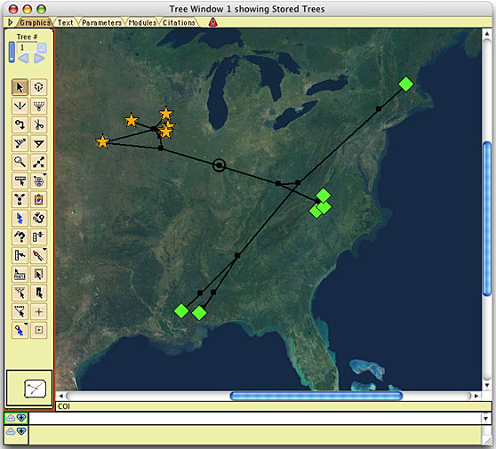
Image of North America courtesy NASA/JPL-Caltech
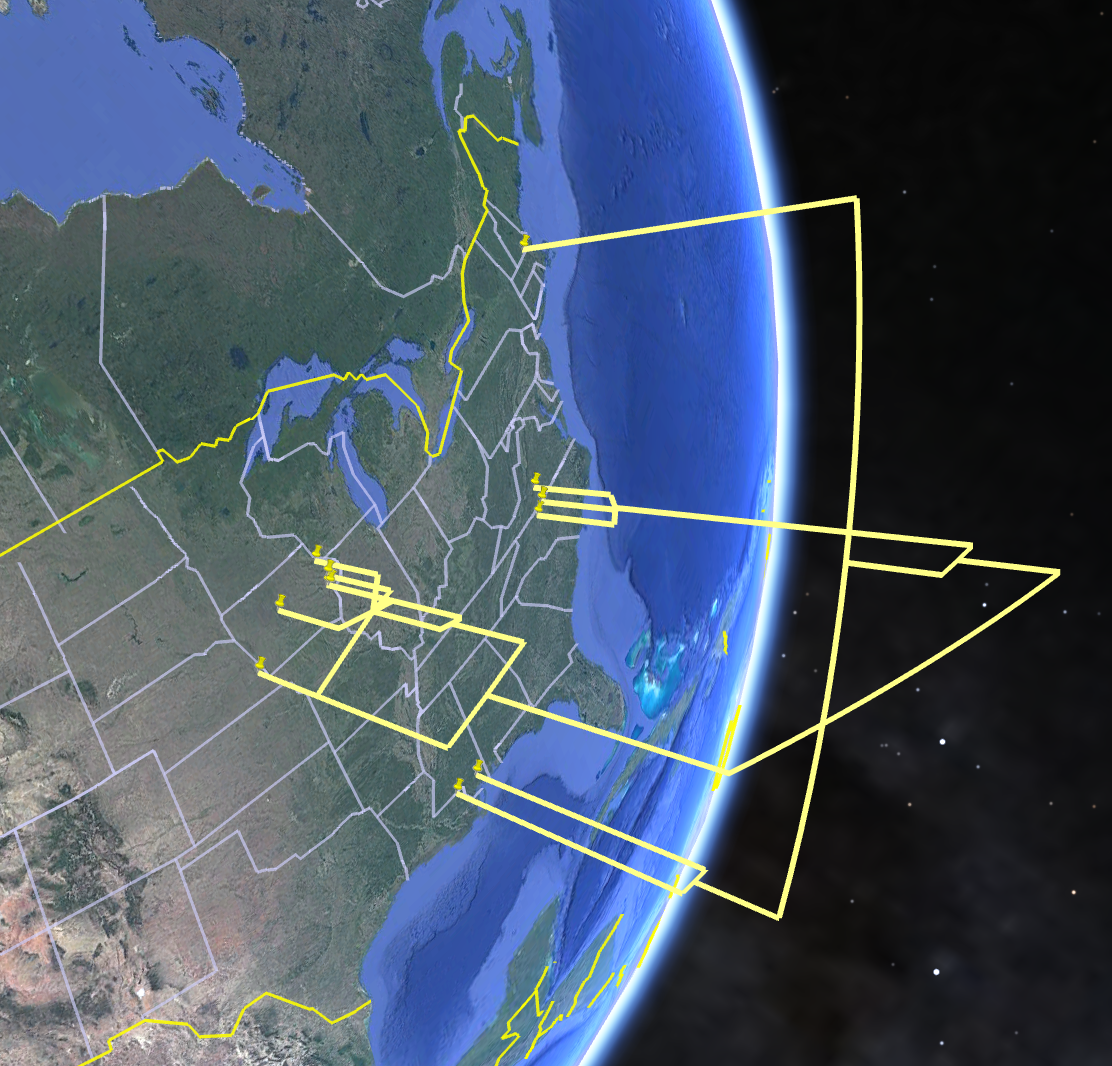
You can also export a tree and points to Google Earth and visualize the tree there:
Cartographer requires Mesquite 4.02 or later.
Pages available via the links on the left provide details on the operation of Cartographer.